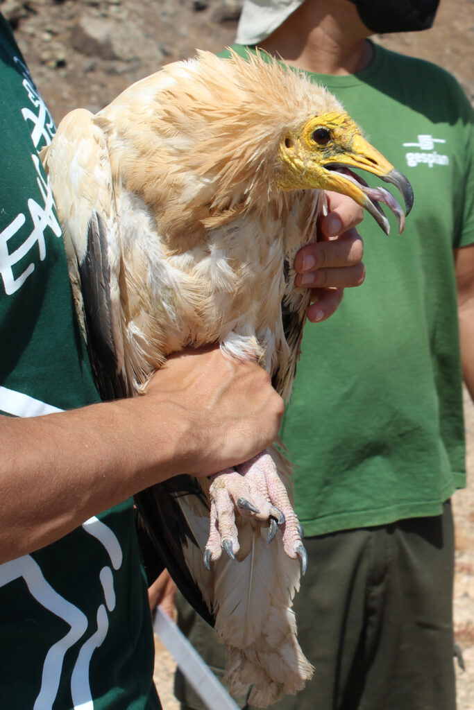
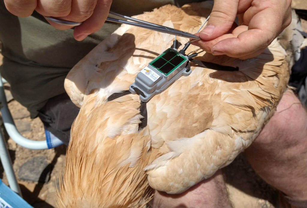
Between 21 May and 4 June, a marking campaign of guirre’s specimens was carried out in the Canary Islands with GSM/GPRS GPS devices as part of the LIFE Egyptian vulture project. Under the direction of Dr. José Antonio Donázar, technicians from the Estación Biológica of Doñana-CSIC supported by the staff from GESPLAN and the Dirección General de Lucha contra el Cambio Climático y Medio Ambiente of the Canarias Government, thanks also to the collaboration of the Cabildo of Fuerteventura, carried out the application of eob-s GPS GSM/GPRS devices on eighteen vultures.
These devices, purchased by the Dirección General de Lucha contra el Cambio Climático y Medio Ambiente, thus leading to the twenty-one already available to the Canary Islands Government since 2015, bringing the total number of specimens tracked with this type of device to thirty-nine.
In addition, the Estación Biológica of Doñana-CSIC is using another twenty-seven radios with the UvA-BiTS system produced by the University of Amsterdam. In total, therefore, sixty-six individuals are being monitored remotely, which represent 18% of the Egyptian vulture population surveyed in 2020.
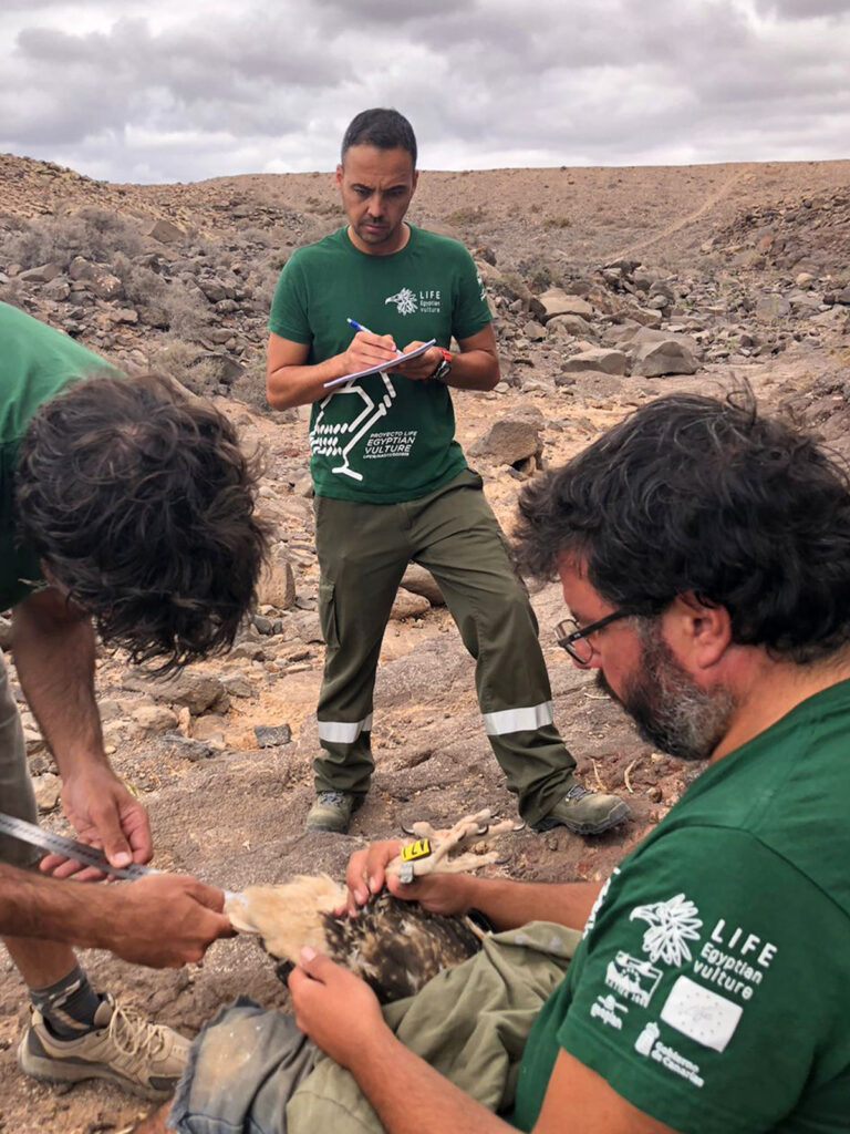
The devices run on solar power and have different sensors that provide geographical coordinates, altitude and speed based on a defined time interval; they weigh less than 3% of the animals. These radios complement the traditional identification and marking with metal and coloured rings that the EBC-CSIC has been carrying out since 1999 and which allows more than 90% of the 376 individuals that make up the current population to be monitored.
The application of these devices on adult and sub-adult Egyptian vultures will allow a detailed analysis of the behaviour of each specimen and its use of the territory, as well as the determination of dispersal and aggregation strategies in the population.The information collected will be very useful in evaluating the possible impact of activities, works and projects, making it possible to take preventive measures in order to reduce non-natural mortality associated with power lines and wind farms, as well as to implement appropriate management of the trophic resources required, factors which are particularly important for land-use planning and increasing growth rates, especially on the island of Lanzarote.
In fact, the data collected by the set of devices have already been used to identify the most suitable areas for the creation of new supplementary power sites, in order to establish the priority areas for the modification of dangerous power lines in the islands of Fuerteventura and Lanzarote and, at the moment, they form the basis on which to draw up a risk map for the installation of wind farms on these islands.
Since their application, the new eighteen devices have already provided a total of 151,382 GPS locations and related information (altitude, speed, etc.), numbers that give an idea of the volume and the accuracy of the information acquired.